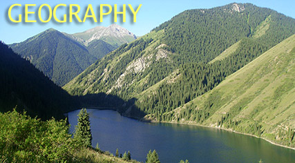
Kazakhstan - mountains, rivers, seas and cities
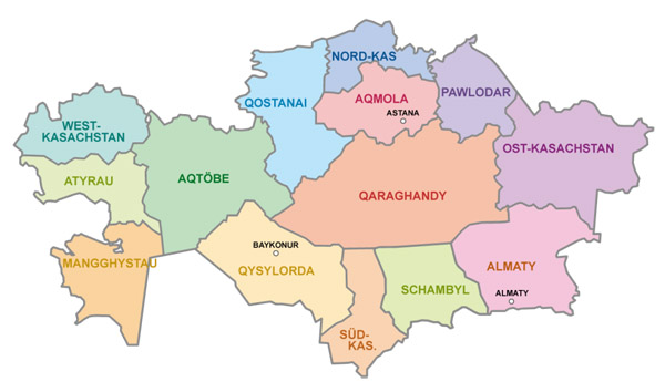
Provinces
Like most countries Kazakhstan is split into regions. Kazakhstan has 14 different provinces, the main province is Almaty which of course has the city Almaty in. There are two territories called south and west Kazakhstan but the rest are Kazakh names from old empires.
Weather
The weather in Kazakhstan isn’t very balanced, in the winter it very cold under -12°C
but in the summer Kazakhstan gets as hot as 42.5°C. Astana has a very diverse climate, it’s either ice cold Russia or sunny warm China.
Mountains
Kazakhstan’s biggest mountains are called the Altai mountains. Their height reaches a massive 9.000 feet or 3000 metres.
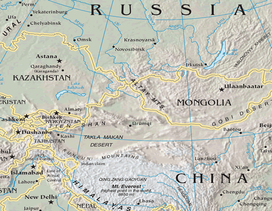
The Altai mountains come down from the centre of Russia and border Kazakhstan and Mongolia and finish at the top of China.
Lakes
Lake Alakol
|
Lake Balkhash Kazakhstans longest lake |
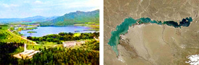
These are all the lakes in Kazakhstan but the longest is the Balkhash Lake. If you look on a map of Kazakhstan you will see it on the south east and is a very deep lake of 25.6 meters depth.
Cities
Almaty is the biggest most populated city in Kazakhstan it was the capital since 1997 then Astana took the place and is the capital now despite it’s smaller.
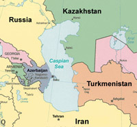 Caspian Sea
Kazakhstan’s water has been badly damaged by people. Most of the water in Kazakhstan is polluted by cars and farmer’s pesticide and fertilizer and in some places; radio active waste has been put in the water to dispose of.
The water level of the Caspian Sea has been rising steadily since 1978 but scientists can’t understand why but are still debating on whether it's to do with the climates of Kazakhstan.